
Saturday October 18, 2025
Challenge yourself, your family, friends or anyone, to complete the one day 25 Km hike through the spectacularly serene yet invigorating fields and forests of the Boyne River Valley section of Dufferin Hi-Land.![]()
All participants who complete the hike will be awarded our coveted badge!
This is a loop hike that starts and finishes at the Bruce Trail Mulmur Hills Parking Lot. Location: (Google Maps): BTC Map #20 1st Line East, Bruce Trail Parking Lot – Rock Hill. Just east of Whitfield south of 10 Side Road (County Road 17)
Cost: Bruce Trail Members: $45.00 Non-Members: $55.00
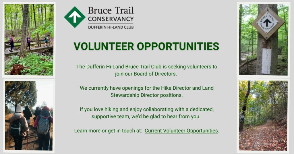
It is a fundraiser hike for our club and is open to BTC Members and Non-members; however, this hike is NOT suitable for children under 13 years of age. A refreshing social is planned at the Finish!
For more information and to register: Boyne Valley 25K Challenge Hike
What time does this event begin?
The hike begins at 8:30 am. For more information please see the post on the hike schedule at:
Is there an approximate route map?
As this is a loop hike, the Start/Finish point is at Rock Hill in Mulmur and goes south through to the Boyne River Park and follows the Boyne Side Trail to turn Northward, back to Rock Hill. The Southbound and Northbound routes are marked with different coloured arrows. There is a Checkpoint close to the half way point at the driveway into the school nature reserve on 1st Line. SEE MAP 2O Km 28.3. for the Start/Finish. We use a field west of the Rock Hill parking lot as our parking area. Hope this helps!